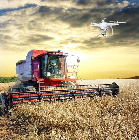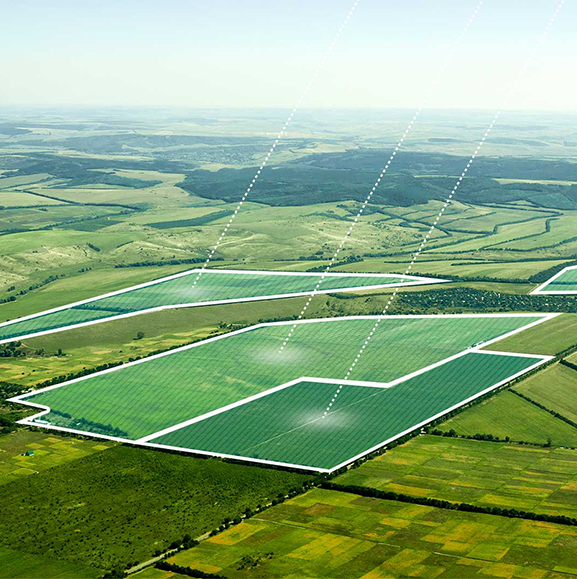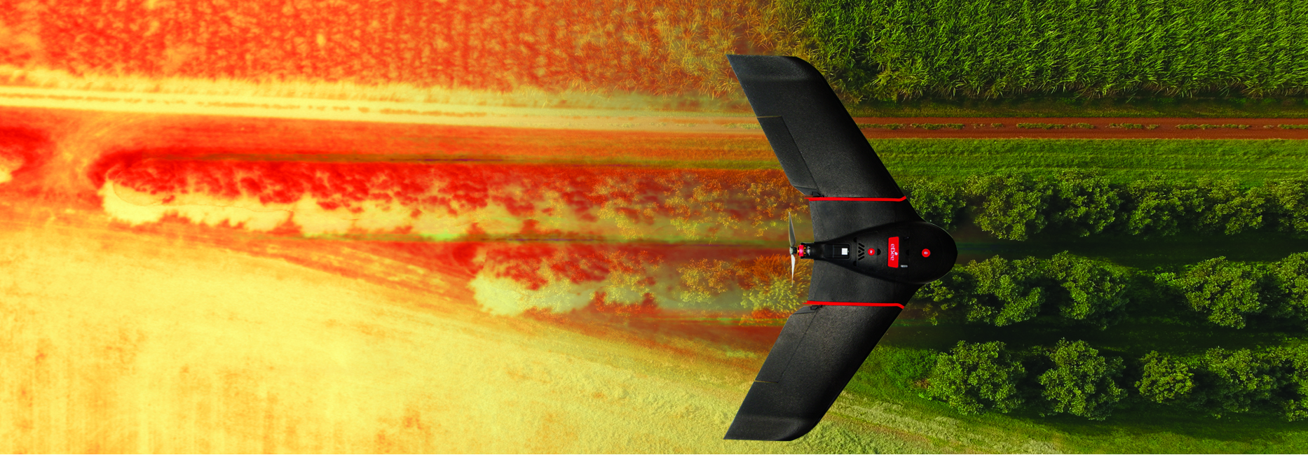
HTM Complete believes that if precision technology has driven the farming revolution of recent years then monitoring from the sky will drive the next. By using a drone, you can capture high quality, accurate images (even when there is cloud cover) of your fields, covering up to a hundred hectares in a single flight. Drone imagery is affordable and provides ultra-high resolution.
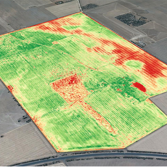
Aerial imagery can provide dimensionally accurate photomaps, 3D maps with accuracy equal to RTK GPS systems, and multispectral crop health maps. Accurate maps highlight exactly which areas of your crop need closer examination, meaning less time spent scouting. Analysis of aerial imagery allows you to build and execute a precision plan, so you get the best out of your crops.
We SPECIALISE in horticulture and mixed cropping. The ultra-high-resolution imagery available from unmanned aircraft complements the intense management practices in these farming systems.
At HTM Complete our experienced technicians process all imagery in-house to ensure quality. We specialise in agriculture and believe accurate results can only be achieved with first-hand knowledge of your farm.
We operate multi-rotor and fixed-wing aircraft carrying a range of sensors. We are also able to offer custom imaging solutions on request. Our operators are licensed* and insured and we pride ourselves on the professional knowledge and skill within our unmanned aircraft operation.
*Drone operations are conducted under CASA.UOC.0287 (AeroScan Pty Ltd)